Till
The Austerdalsbreen glacier is located in Jostedalsbreen National Park in the southwest of Norway as part of the Sogn og Fjordane county. It is a prominent side branch of the 487 km² large Jostedalsbreen ice cap and feeds itself out of the three hanging glaciers Lokebreen, Odínbreen and Torsbreen.
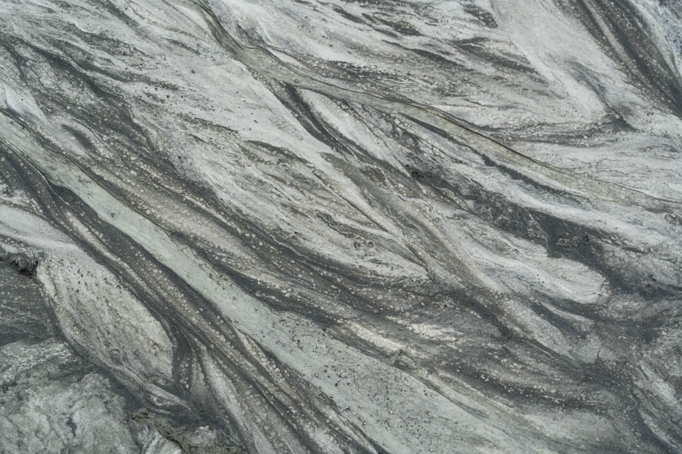
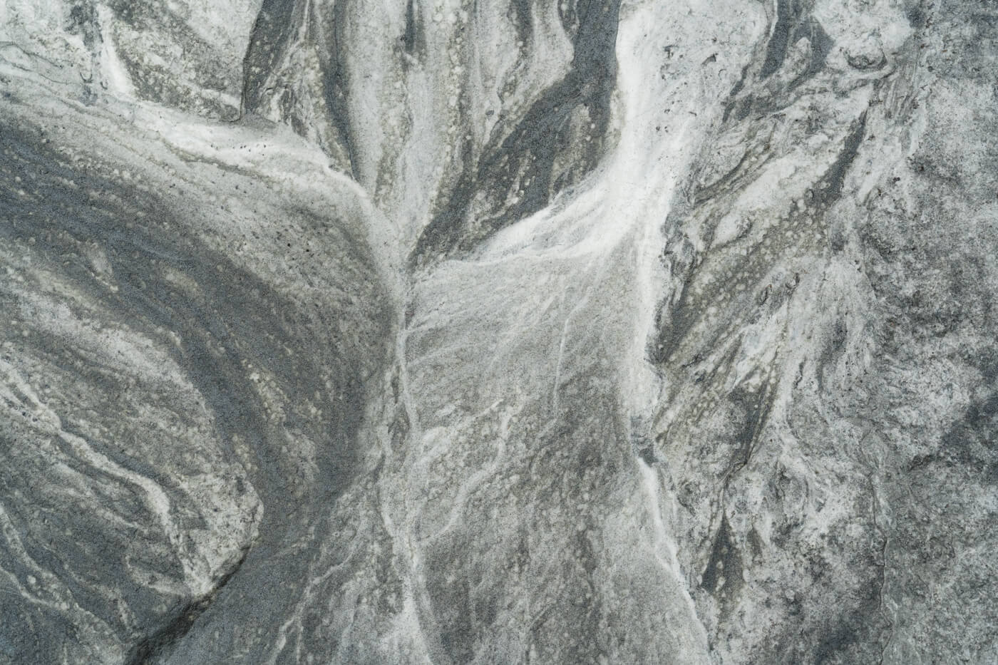
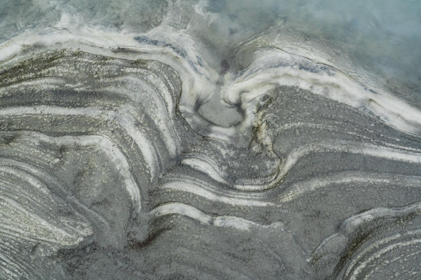
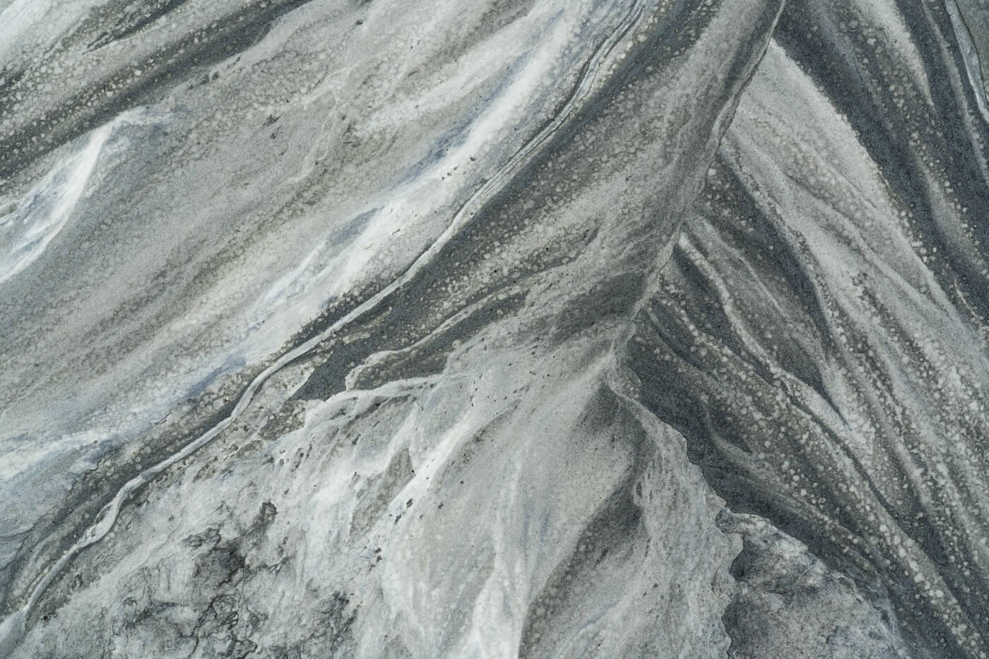
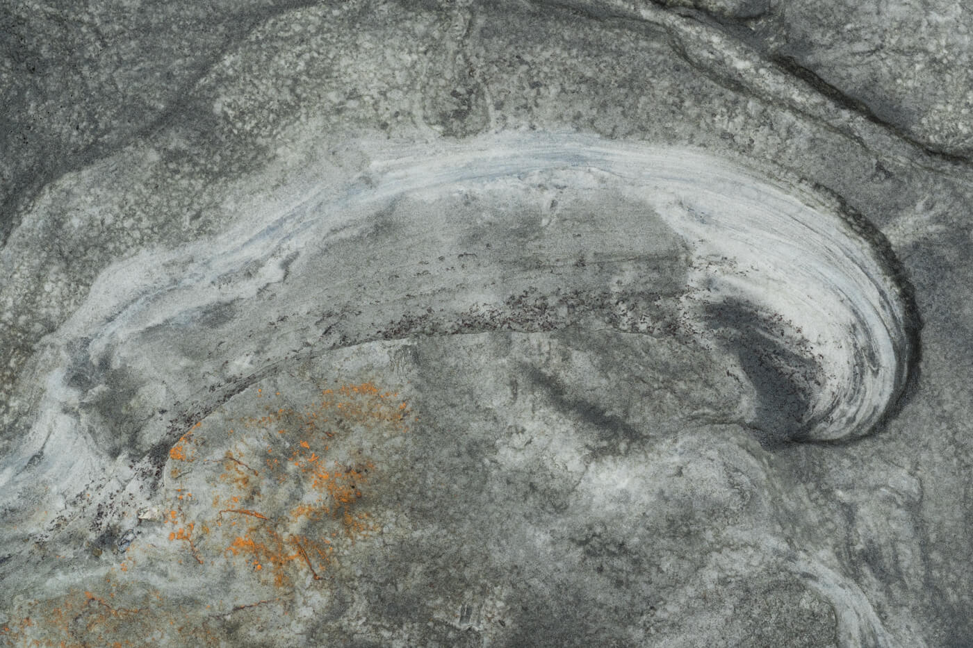
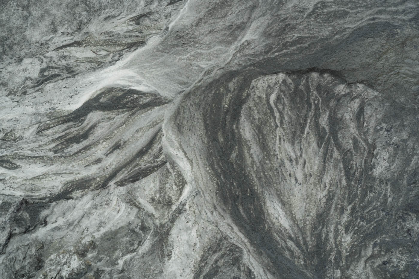
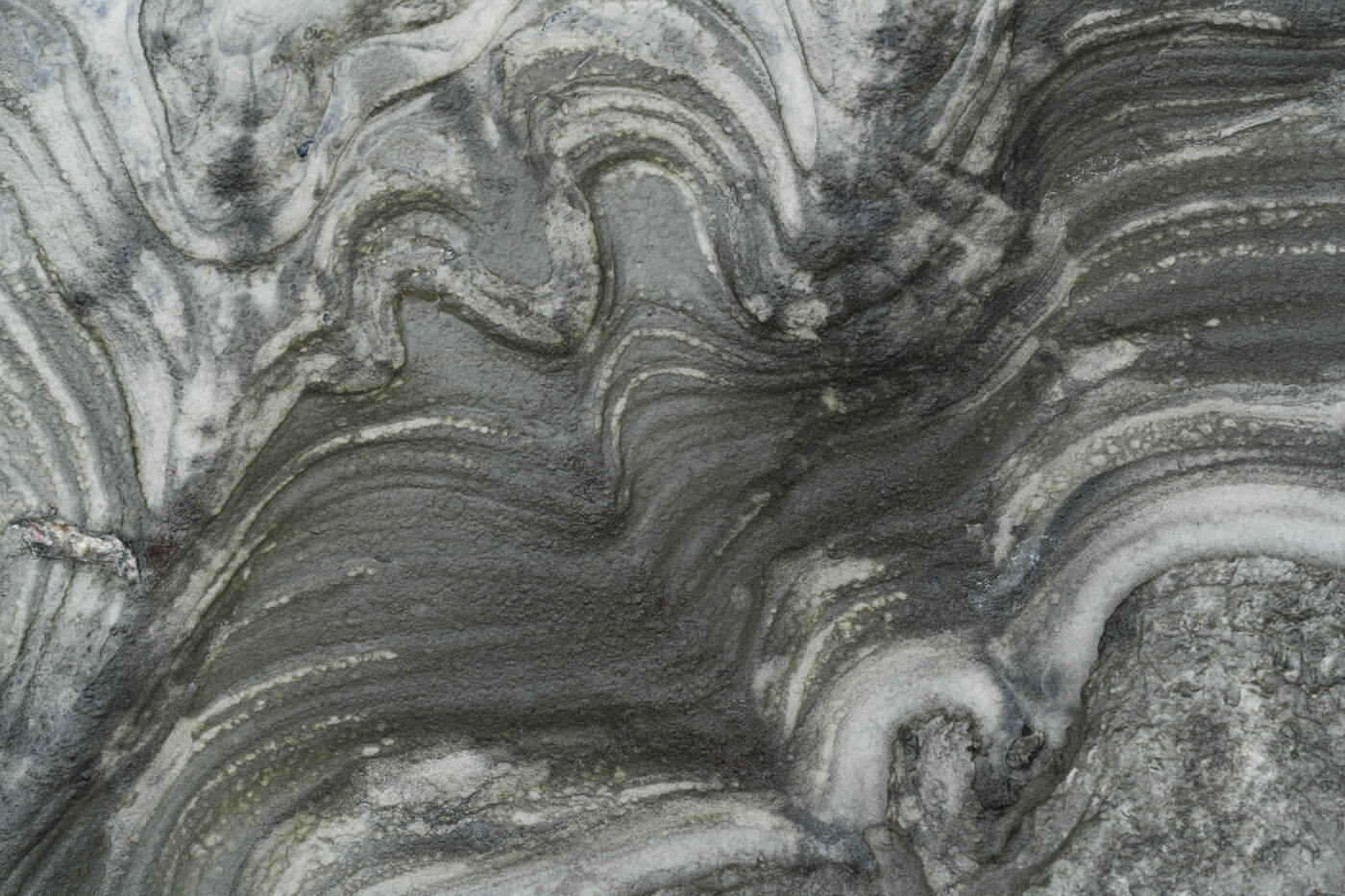
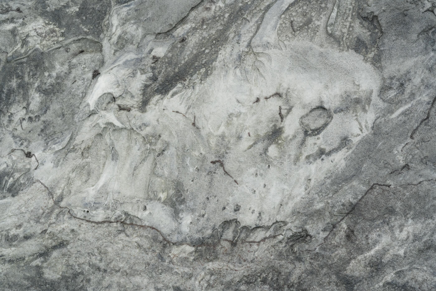
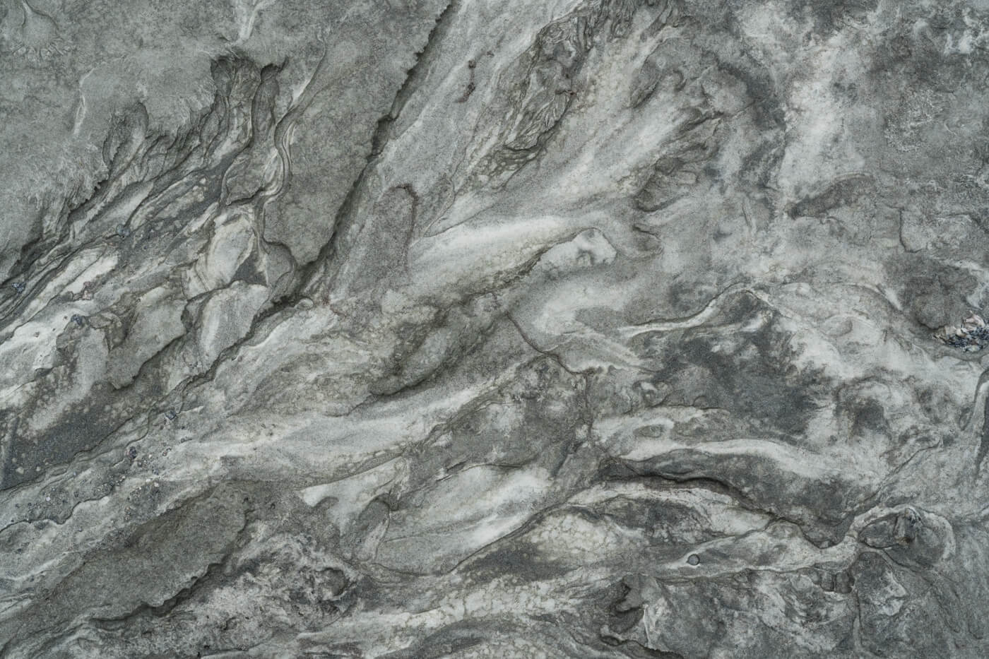
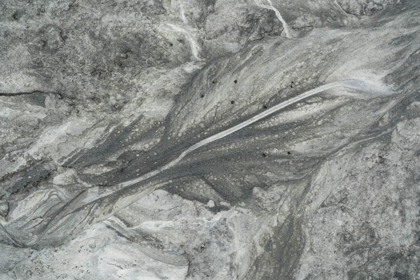
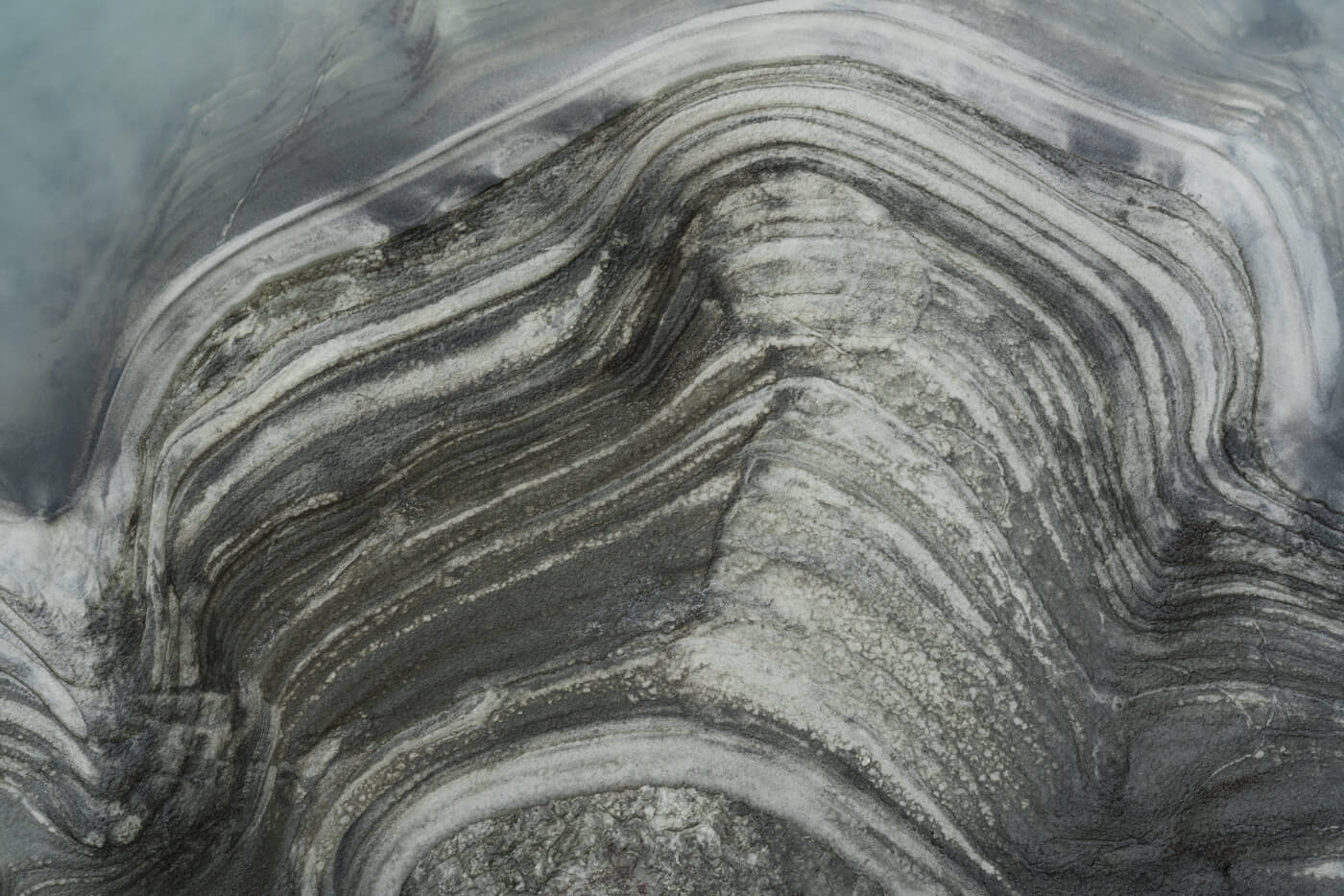
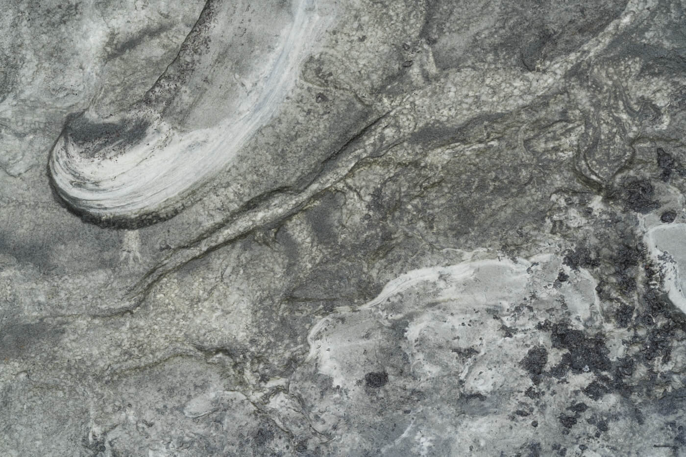
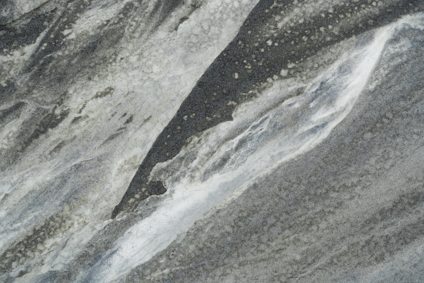
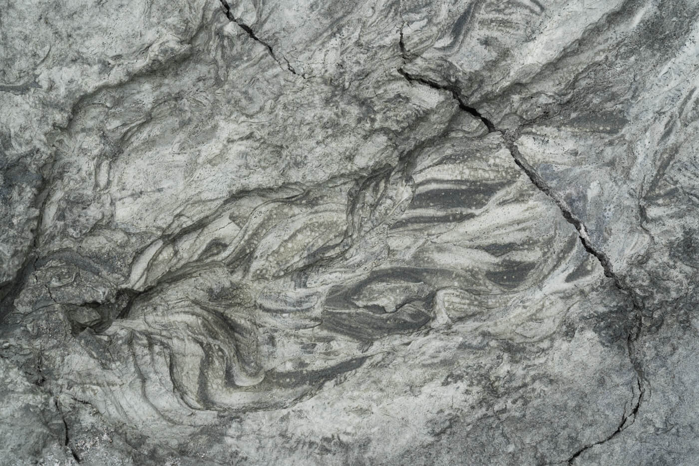
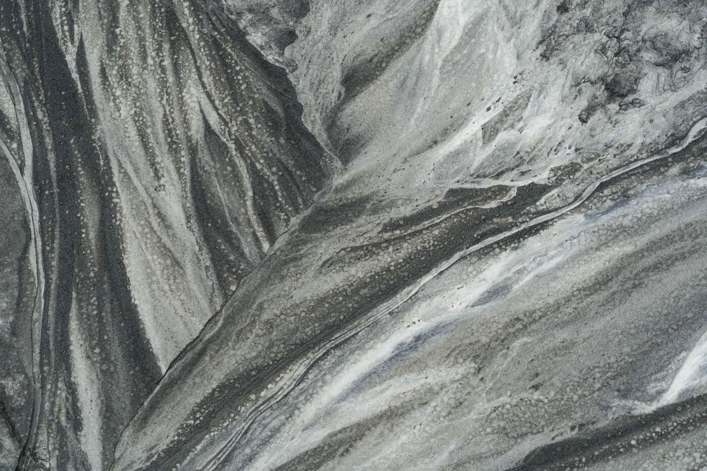
At the foot of the glacier (end moraine), where the ice reveals the ground underneath, something astonishing can be observed. Through a combination of natural processes and environmental factors, abstract patterns of mud are formed.
As the glacier flows, it grinds against the bedrock, shaping the terrain with its abrasion. This grinding action, combined with the glacier’s erosive force, creates an array of textures and patterns.
Meanwhile, melt water flowing from the glacier carries fine sediments like clay and silt, depositing them in mesmerizing arrangements. When the glacier retreats, these patterns are unveiled, and the exposed mud is further sculpted by wind, rain, and water flow.
The result is a captivating mosaic of nature’s artistry, showcasing the ever-changing landscape sculpted by ice and water.
–
Norway / 2023
Find this series on Behance

